Having spent most of my almost half-century of living in the Pacific Northwest has given me the experience of watching people crowd into an area.
Observing as humans wade through the economic tides and refine the process of developing land, starting with the easiest and taking steps into the more difficult and less desired parcels.
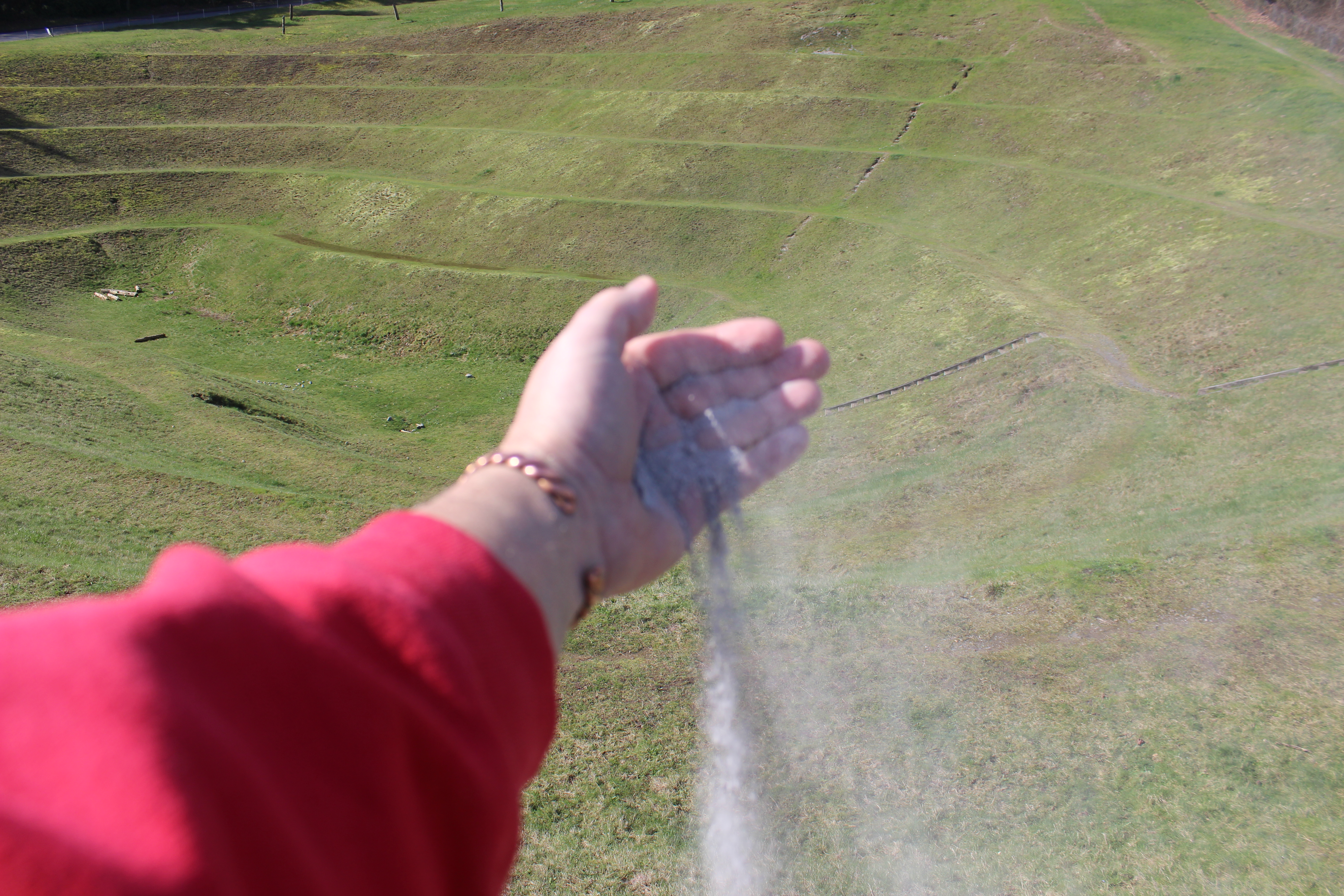
A sort of reckoning takes place. No change goes unpunished. Our natural environment has evolved over time into one that had its way of dealing with rainfall. As human needs replace what was, weather dictates what will be. The more hilly earth becomes smooth and paved, the more concentrated needs become for dealing with excess water when the rains fall.
An evolving complex formula has come about for building water retention sites. These man-made ponds are camouflaged scars to the earth. Displaying some examples of human bargaining with a blend of indigenous “natural plant-life” (cattails, grasses and trees) for wildlife and often some kind of appeal offering to the local payer of taxes (landscaping, trails and/or a park) to gain the right to develop, creating monuments to appease the gods of rain. These places of reckoning are hotly debated for long periods of time, constructed relatively quickly, celebrated briefly and then quietly slide into being largely ignored. Not Sarrah, she always spotted these places of reckoning and insisted that we investigate.
Two of these places evolved nearby in Sarrah’s lifetime.
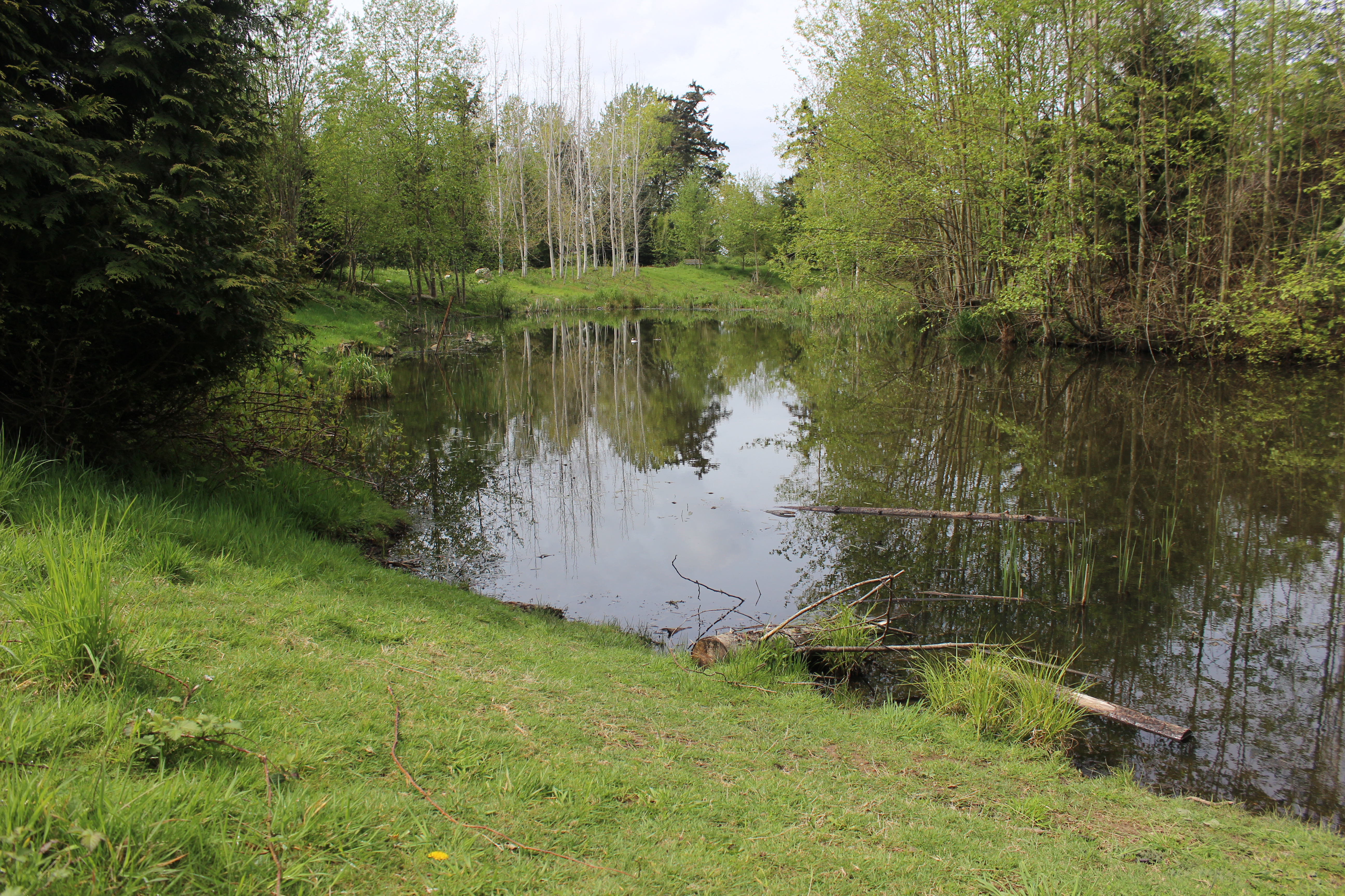
The first one is located at the low point of a community college campus hidden behind a tennis court; it has a labyrinth of paved trails through trees and a bridge over the fluctuating pond. I recall reading that some college classes were involved in the layout designing and choosing plantings, some studies probably continue.
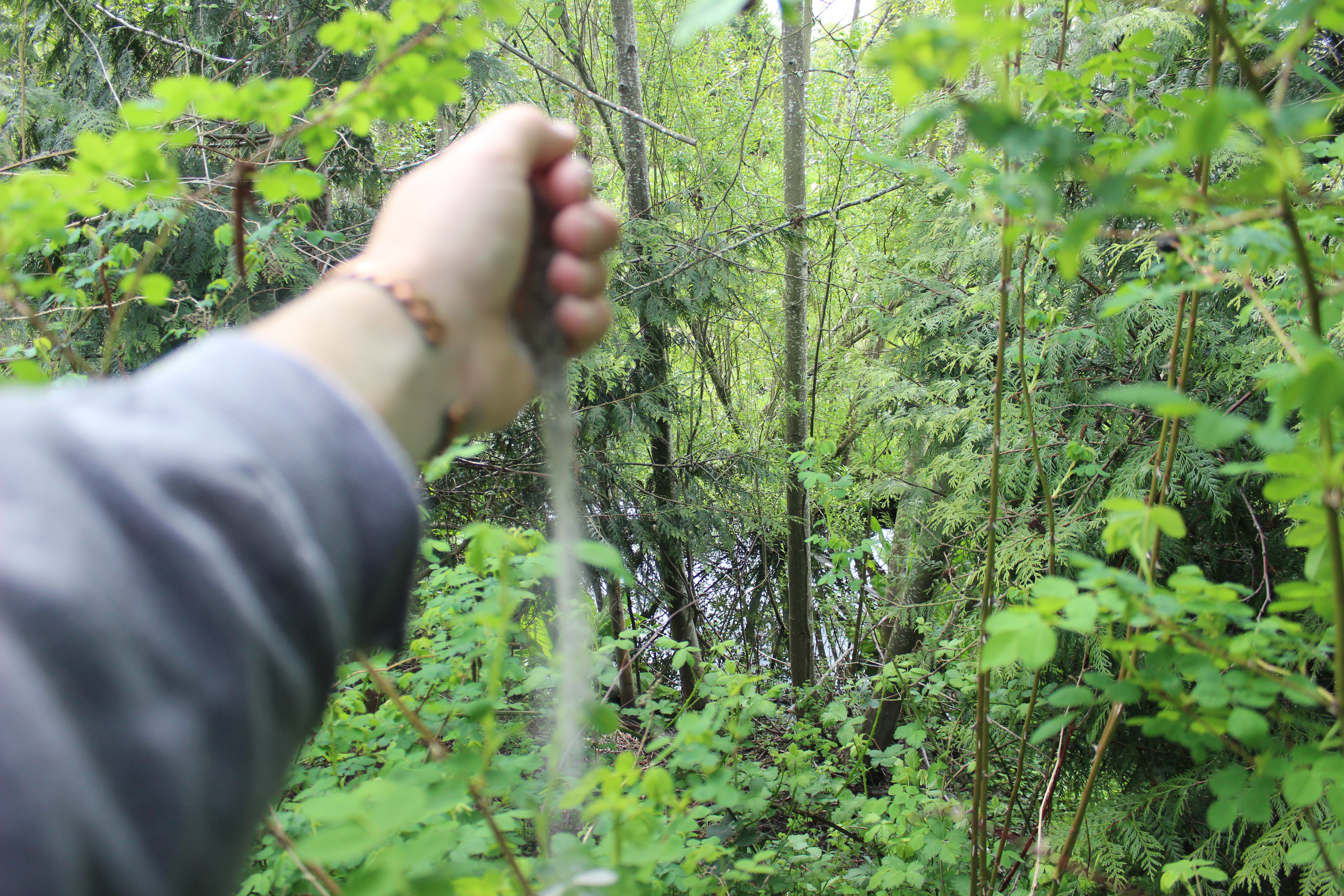

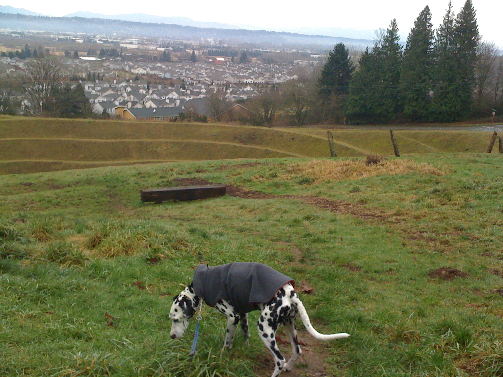
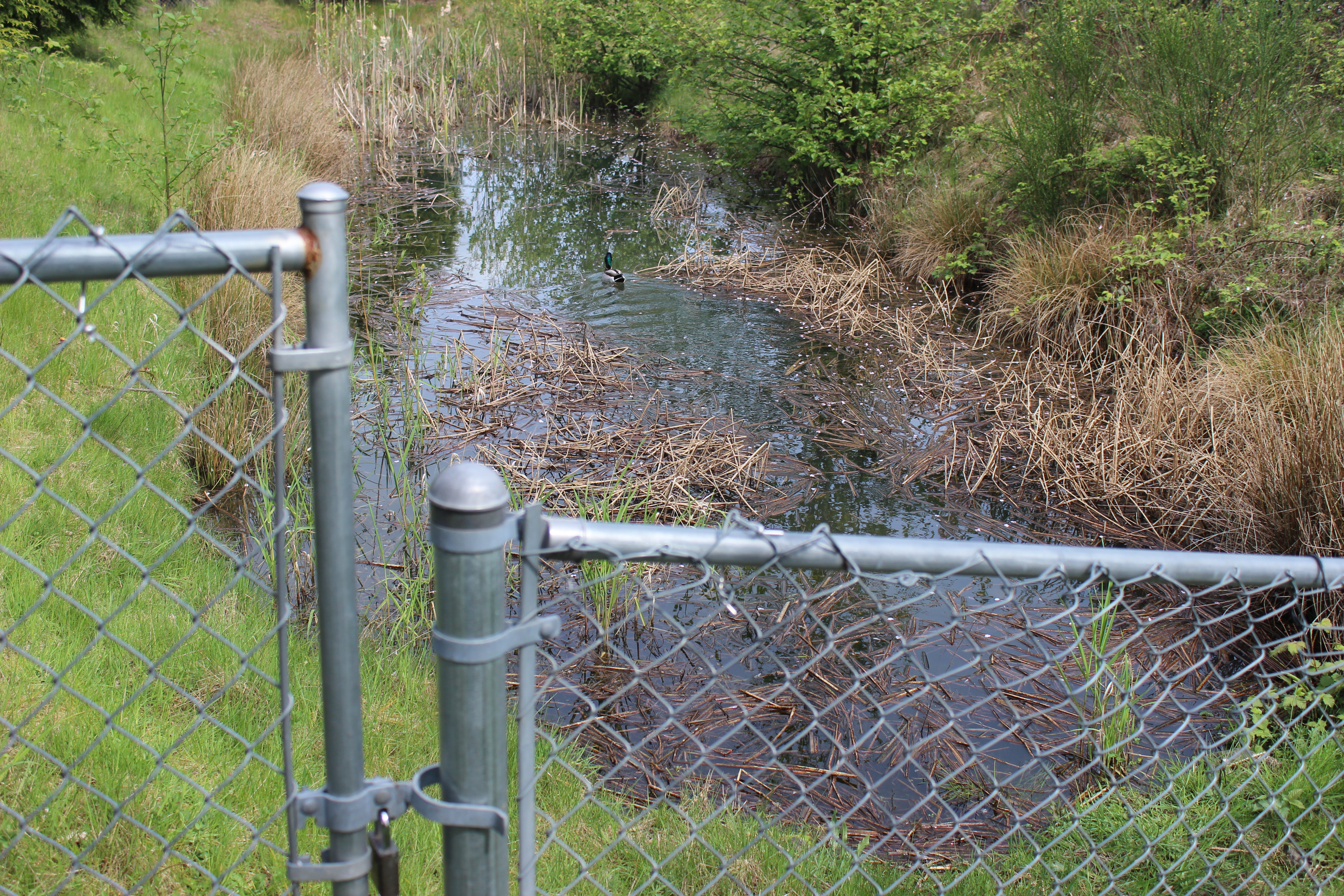
Another was constructed so that a three-field baseball park could be flat and dry. This park is behind our re-located local Post Office. The land was probably swampy pasture with some scrub trees and blackberry bushes before our International Airport grew making it too noisy for human habitation. This water management creation has a fenced-in small pond, a rocky “dry river bed” and a much larger water retention pond below (we saw it seasonally dry out and fill to the top). At times a choir of frogs fills the air with hypnotic notes. The trails here are simple paths worn in the grass by shortcutting kids and dogs with people.

When Sarrah discovered this place it became part of going to get my mail, the best part.
If it were up to Sarrah we would explore both of these typically quiet places on the same day, when freedom from commitments allowed, we did.